
360° cameras
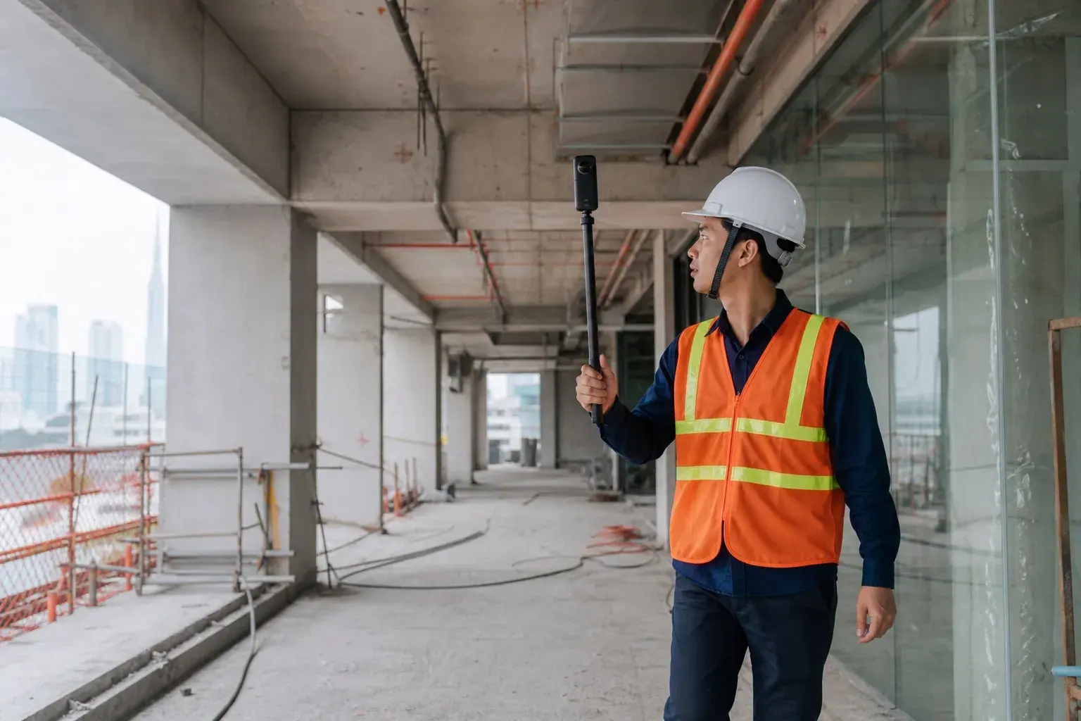
Record complete spatial views along defined routes or at fixed points, helping teams review site conditions without missing important angles.

Site technology service
A structured visual record of the site, from every angle
TPG TECH designs and manages site-capture workflows using 360° cameras, construction CCTV, AI-ready cameras, and drones to create consistent progress records that authorized teams can review remotely.
Equipment is only one part of the service. TPG TECH defines locations, frequency, naming rules, access, and storage before deployment, turning site imagery into structured project records instead of disconnected files.
Record complete spatial views along defined routes or at fixed points, helping teams review site conditions without missing important angles.
Position fixed cameras around priority areas with connectivity, retention, and permissions suited to site conditions.
Prepare suitable video streams, fields of view, and data infrastructure so approved image-analytics functions can be added when requirements are defined.
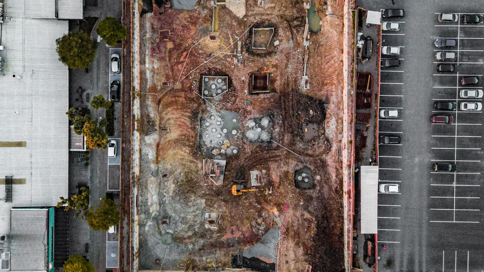
Capture aerial photography or video for large sites and progress milestones, subject to weather, safety controls, and applicable permissions.
Schedule capture, apply timestamps, and organize imagery by location, package, or stage for repeatable progress comparison.
Provide appropriate access so authorized stakeholders can review site conditions and events without being on site every day.
TPG TECH manages capture schedules, equipment, quality checks, storage, and recurring reports to an agreed scope.
The deployment balances coverage, image quality, connectivity, security, and the operating workload placed on the site team.
Confirm viewing objectives, priority zones, power, connectivity, and safety constraints.
Select equipment types, positions, capture frequency, retention periods, and access rights.
Configure equipment and verify fields of view, image quality, transmission, and backup procedures.
Run the capture schedule, check incoming data, and address gaps before records are issued.
Organize records within the project structure and provide summaries at the agreed reporting cycle.
Tell us the site size, areas to monitor, and reporting frequency so we can shape an appropriate scope.